Here is the image that Due puts up - which is, as advertised, an apparent 2.5 meter resolution.

Here is a current frame from Google - and it is obviously MUCH higher resolution - either 6" or 1.0' resolution - difficult to say exactly without a lot of time and effort.
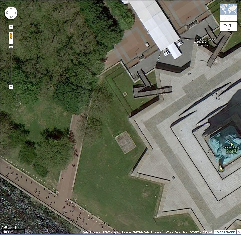
http://maps.google.com/maps?q=Ellis+Island,+New+York&hl=en&ll=40.689708,-74.045109&spn=0.000864,0.001479&sll=37.0625,-95.677068&sspn=60.635244,52.558594&vpsrc=6&hnear=Ellis+Island,+New+York,+Hudson,+New+York&t=h&z=20
I think even a casual observer can tell the difference between even the highest available (commercial) grade satellite resolution - and that which Google is using. Note that Google SWITCHES datasets - in fact does a 'merging' - during the zoom-in/zoom-out function - from a low res dataset for very wide aperture views, to the higher res datasets as zoom function increases. The MAJORITY of the current US low-res dataset utilized by Google is the 30m Landsat dataset. The entire state of Texas is easily available online, both Landsat, and higher res USDA aerial recon - both orthorectified, with proper 'image' info in the geo-tiff headers.
Other states - some are easy to access, some are not. MIT used to have a mega-server with these USDA (and Landsat) geo-tiffs - probably still do. The USDA used to serve these directly also - and the data-sets that the USGS were serving (many times at a price) were usually nothing more than the USDA datasets - packaged a little differently.
There is a lot of info about images in the raw and processed geo-tiff headers - info that most 'image viewers' do NOT access.
So, basically, I stand by my original post - with acknowledgement to Due that, yes, there ARE higher resolution satellite imagery available - but it costs.
